 View larger 'before' image of 10 January 2003 below
 View larger 'after' image of 29 December 2004 below
 View high resolution 'before' image of 10 January 2003 (550kB jpeg)
 View high resolution 'after' image of 29 December 2004 (580kB jpeg)
 Click on images to view larger
Images courtesy of NASA
 Close window
Tsunami destruction of Lhoknga, Indonesia
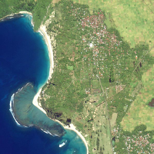
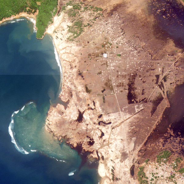
The Indonesian province of Aceh on the northern tip of the island of Sumatra, was hit the hardest by the earthquake and tsunami of 26 December 2004. The small rural town of Lhoknga, on the west coast of Sumatra was completely destroyed, with the exception of the mosque (white circle) in the center of town. The massive tsunami wave may have been more than 15 metres (50 feet) high before it landed on the shoreline.
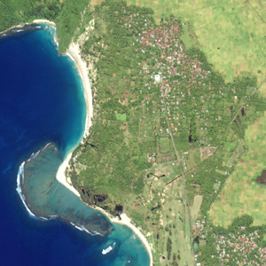
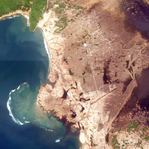
Before (below left) and after (right) satellite images of Lhoknga, taken from Space Imaging's Ikonos satellite, show the powerful destructive force of the tsunami. Almost all of the vegetation was removed, and just the foundations of some buildings remain. All of the sand on beaches was completely washed away, and low-lying agricultural land adjoining the town remained flooded for four days after the disaster. Similar devastation extends for 225 kilometres southeast along the Sumatran coast in a strip that extends up to 3 kilometres (1.9 miles) inland.

Before tsunami - 10 January 2003 |

After tsunami - 29 December 2004 |
 |
|
 |
|
 |
|
Images courtesy of NASA |
|